CORINE Land Cover status
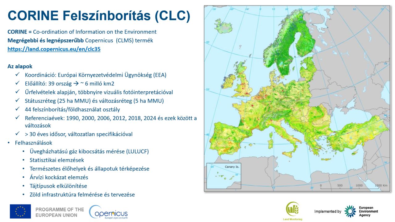
Land cover map covering 39 European countries, with 44 thematic classes for the reference years 1990, 2000, 2006, 2012, 2018 and 2024.
What does it contain?
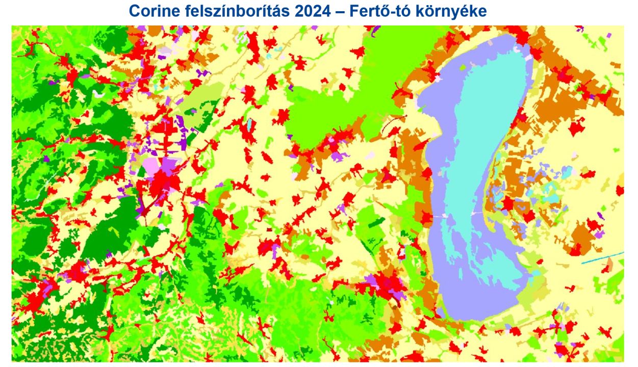
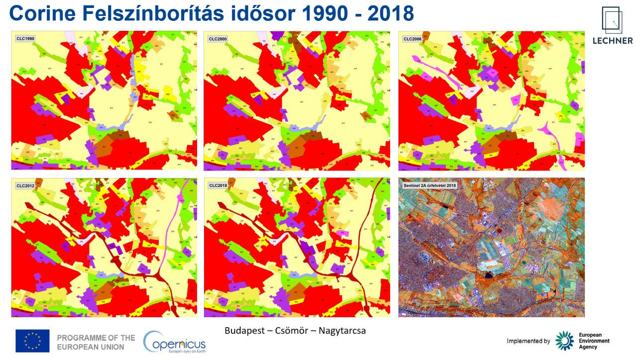
The CORINE Land Cover (CLC) map comprises 44 thematic classes and has a minimum mapping unit of 25 ha. It is the longest-running and most important land cover dataset of the Copernicus programme. The vector map is produced by experts from participating countries based on satellite imagery and national reference data, while the survey is coordinated and funded by the European Environment Agency (EEA). Data for the reference years 1990, 2000, 2006, 2012, 2018 and 2024 are produced using a harmonised methodology and a classification scheme that has remained unchanged since the beginning, ensuring comparability both across Europe and throughout the 35-year time series.