National CORINE Land Cover (1:50 000)
Datasets
Remote sensing
National High-Resolution CORINE Land Cover Database (CLC50)
What does it contain?
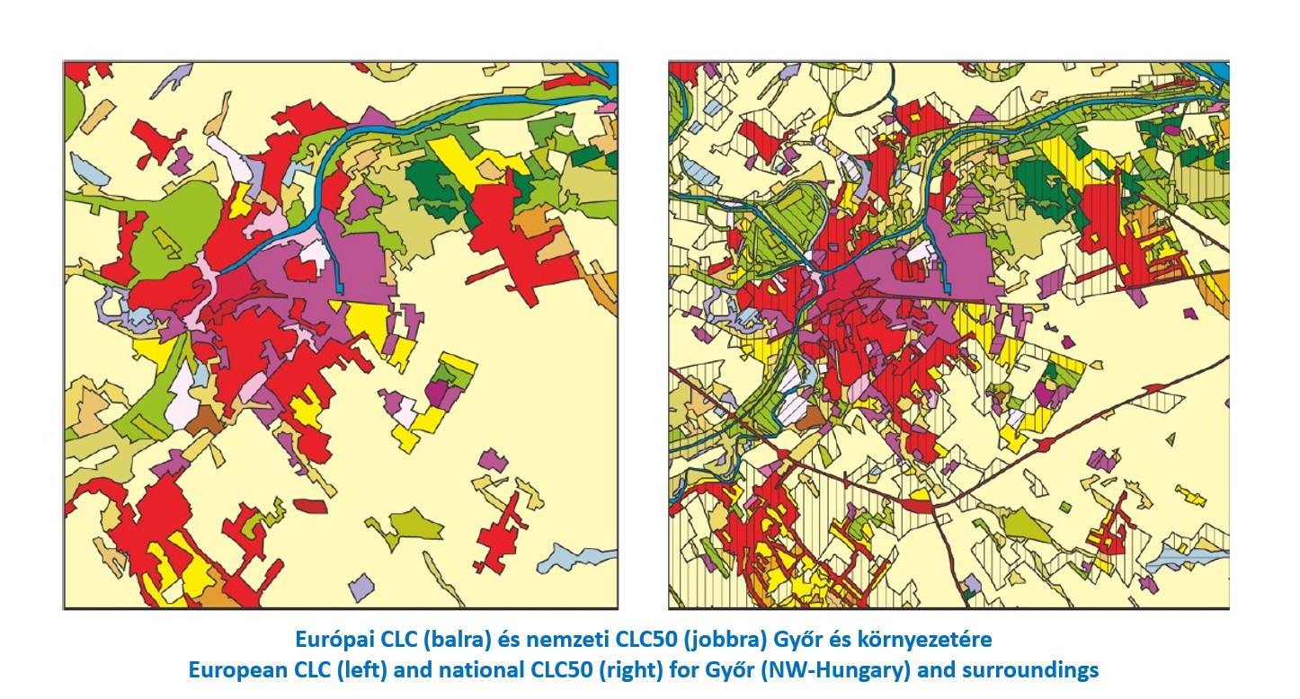
The Hungarian CORINE Land Cover map at a scale of 1:50 000 (CLC50 project) was developed as part of the preparations for accession to the European Union. Its nomenclature extends the standard European three-level classification system, distinguishing 79 land cover classes at levels 4 and 5. The mapping detail - minimum mapping unit - was 4 hectares (1 hectare for water bodies). The high quality of the database was ensured through rigorous internal and external quality control procedures. The database was produced for the 1998-1999 reference period and has not been updated since.