Hungarian Administrative Boundary Database
Datasets
Land Registry, Geodesy and Surveying
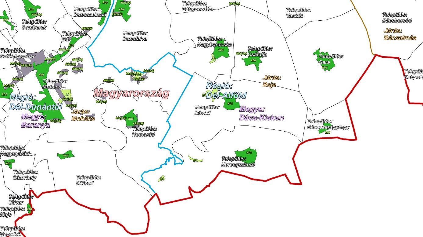
The database includes administrative boundary data for Hungary covering the following levels: national border, regional boundaries, county boundaries, district (járás) boundaries, settlement boundaries, and location (fekvés) boundaries.
What does it contain?
The database contains Hungarian administrative boundary data at national, regional, county, district, and settlement levels. Boundaries at different levels (e.g., county, district) can also be purchased separately. The land parcel boundary database includes the built-up areas and special non-built-up (closed-garden) plots of settlements. The datasets are available in various levels of generalization, according to user requirements, with coordinate precision of up to 1 meter. More information