Custom Map Production on Request
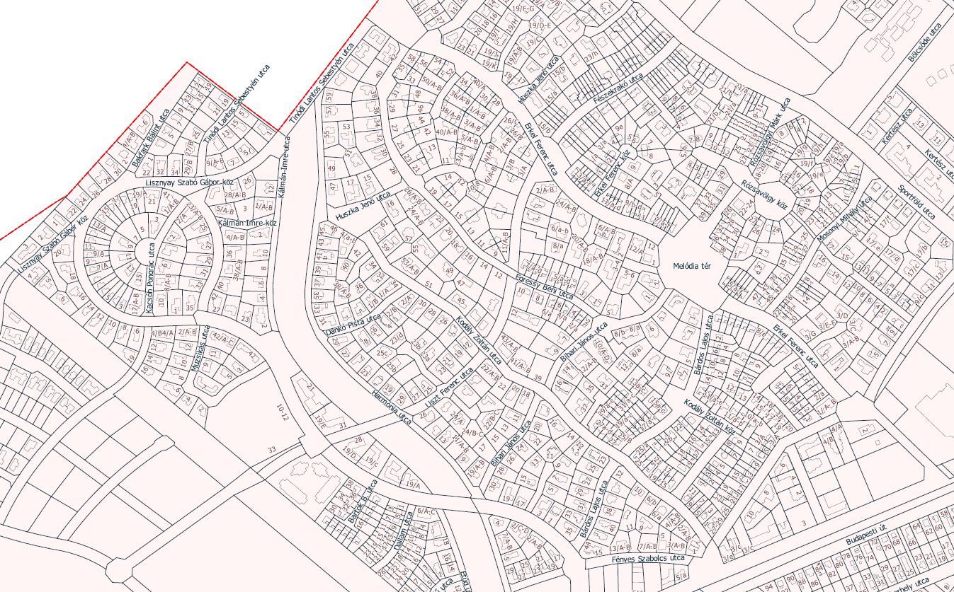
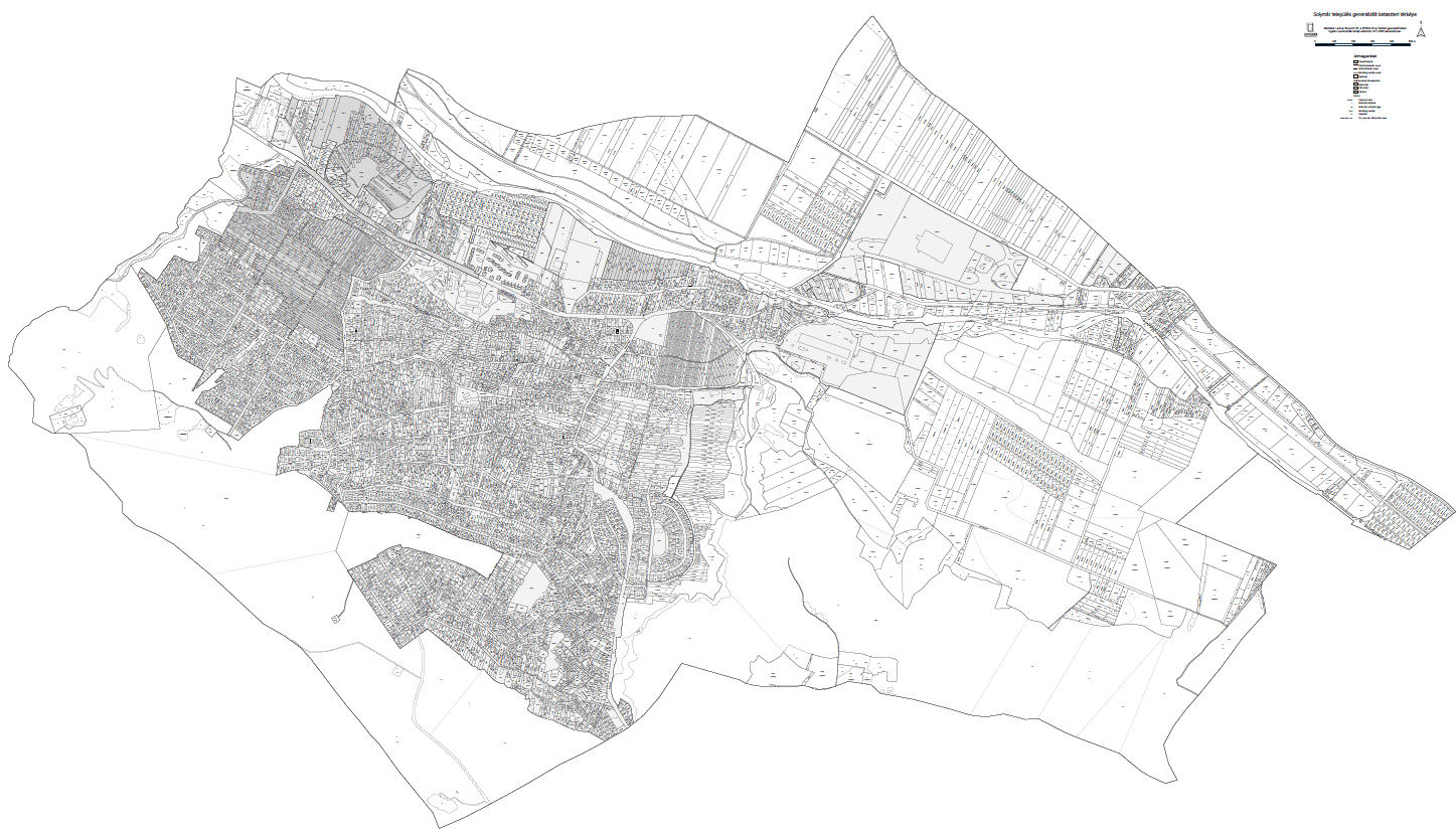
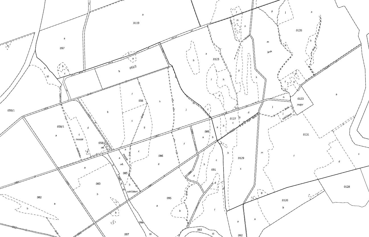
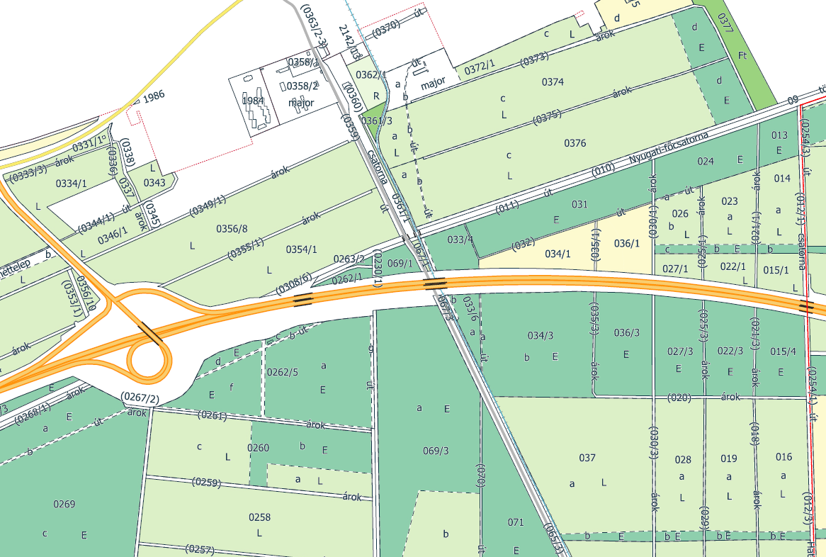
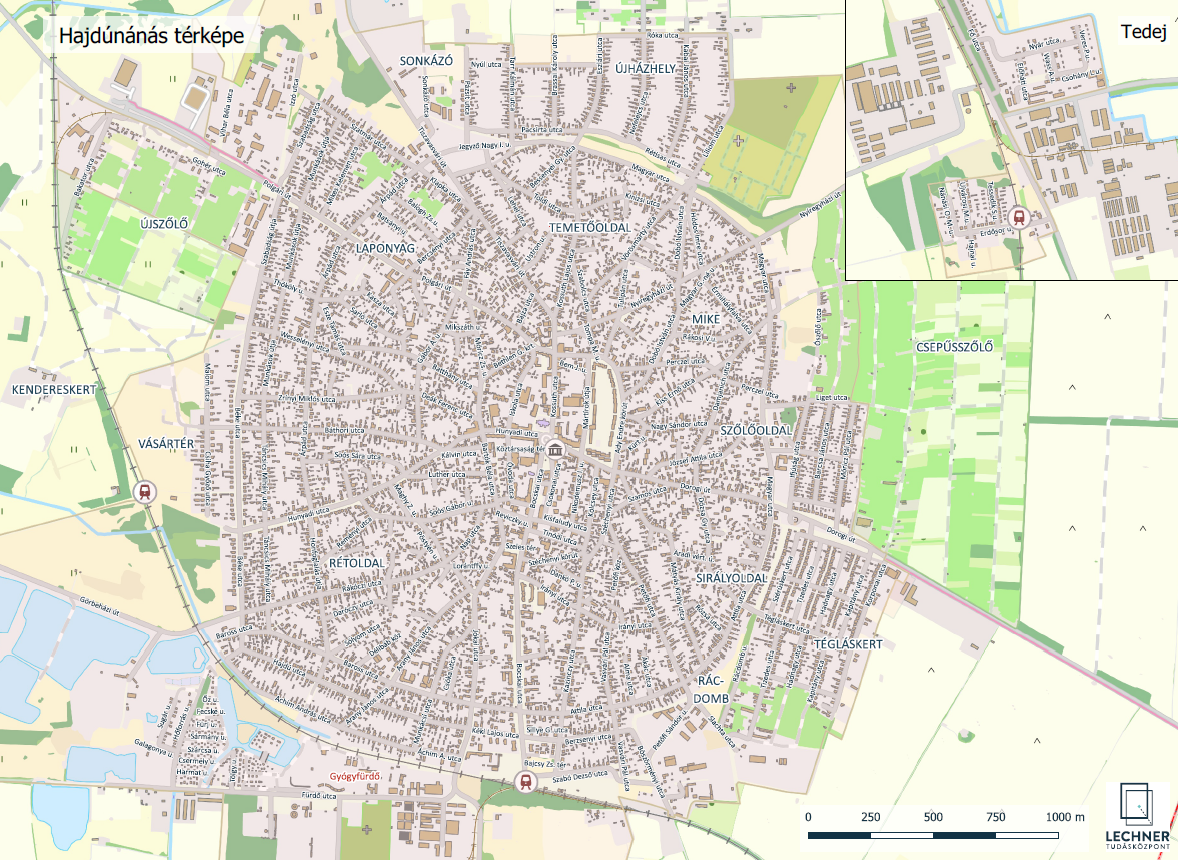
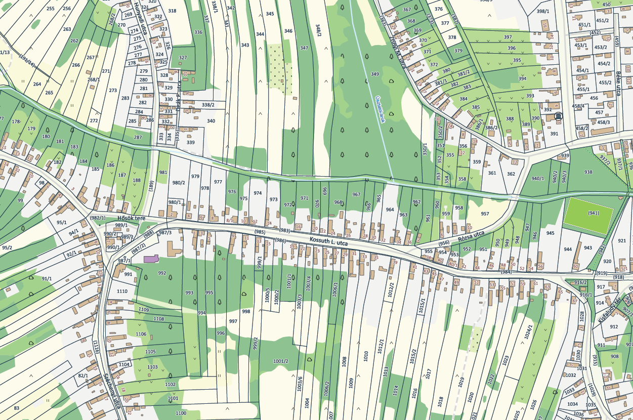
Custom cartographic products can be prepared based on individual orders. Maps may be produced using the Land Registry map database, NGMHu vector data, or a combination of both, and may also incorporate the customer’s own datasets.
Depending on the customer’s requirements, the base map may consist of orthophotos, NGMHu data, or topographic maps.
Pricing is determined individually based on the number of working hours required to complete the commissioned map.
Problem description
Depending on individual requirements, printed maps can be produced for a wide range of purposes, including decorative use, operational management, and municipal tasks such as address creation.
The maps can be created with custom dimensions, tailored data content, and a custom scale, according to the specific requirements of the customer.
Solution workflow
Our expert colleagues contact the customer to define the technical parameters of the requested map, including its dimensions, scale, and data content.
It is also possible to produce a searchable PDF, in which attributes such as cadastral parcel IDs, house numbers, and other labels can be searched. In this case, the labels are stored as vector elements.
Depending on the geometry and extent of the requested area, it may be necessary to divide the map into multiple map sheets.
Based on the agreed specifications, our colleagues prepare the requested PDF map files in a QGIS environment.
Output
The completed map product is delivered as PDF or GeoTIFF file(s). We are not able to provide the map in printed form.